The wall that Frank built
Why is there a knee-high strip of concrete in the middle of Lewis Pass?

The wall went up in 1964. It didn’t go up very far, mind you—1.4 metres of it was under the ground, with only about 50 centimetres sticking out the top. But Frank Evison, the prominent geophysicist who commissioned it, was satisfied.
Evison died in 2005, but the wall is still there. Low and grey and patched with lichen, set in a grassy river flat in the Maruia valley on State Highway 7, it’s surrounded by beech forest and dotted around with dandelions in the warmer months. If you just happened upon it, you’d think it was some kind of remnant—part of an old foundation from a barn, or a water race, or maybe something to do with that bastion of New Zealand backcountry architecture, the Forest Service hut.
But looking closer, you can see small stainless-steel nubs set into the concrete—surveying markers, inlaid to measure how much the wall and land have shifted. Because the structure has a purpose: it’s a rudimentary scientific instrument, stapled precisely across a point where the Pacific and Australian tectonic plates meet. It was designed as an above-ground measure of the Alpine Fault’s gradual movement—or not. The wall has stayed resolutely straight for the past 60 years.
In its failure to measure anything at all, Evison’s Wall is actually a success. It’s suggesting to the scientists of today that this is not a slow, creeping fault; rather, when it does move, it does so in large jumps of several metres, in big earthquakes every few hundred years. Directly beneath the wall (and indeed beneath State Highway 7), the plates are slowly loading up.
When the wall does break and shift, it’ll be a hell of a bust.
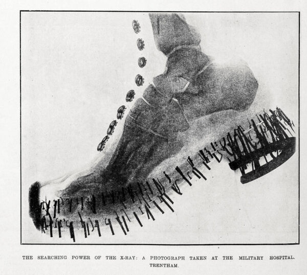
Evison was the inaugural professor of geophysics at Victoria University of Wellington. He was passionate about earthquake forecasting and focused on it for most of his career. He believed that scientists had a duty to society and that reliable earthquake prediction would help minimise loss of life and suffering. Earthquake forecasting is still the holy grail of seismology.
From a plane you can sometimes see the Alpine Fault carving its backbone down the South Island. At Lewis Pass, if you can read the land itself, there are hints of the incredible story of the fault, the longest natural straight line in the world, the next rupture of which we’re expecting to see in our lifetime. Standing on Evison’s Wall, the fault trace zips away in each direction—across the Maruia River, skirting hills, up the valleys. At your feet, it’s an arresting visual marker of the incredible pressure and grumblings going on deep below the dandelions.
It’s hard to resist jumping from one tectonic plate to the next—Pacific, Australian, Pacific, Australian—and pausing to imagine the plates working far beneath your feet. Nor can you stop yourself imagining the sudden ferocity of the coming shift—the wall abruptly breaking, the valley split in two.
Evison, I recently discovered, is my sister’s husband’s grandfather, and he established a university geophysics scholarship awarded recently to my friend’s son’s girlfriend. Such is New Zealand. I message my sister’s mother-in-law Margaret Evison, Frank’s daughter, to ask about his more concrete legacy.
“Oh yes—the famous wall!” she says. “The family joke is that it’s the only thing holding the Alpine Fault together.”