The glory of clouds
Sometimes the “fair, frail palaces” of a poet’s sunset, ephemeral as the rainbow’s cache of gold; at other times lead grey tanks advancing to the accompaniment of artillery fire-clouds delight, intrigue, threaten, and periodically destroy. Seen in another way, they are the supertankers of the sky, ferrying billions of tonnes of water vapour around the atmosphere and making possible life on land.


All of us can doubtless remember a time when we were inspired by clouds. A particularly vivid sunset, perhaps, when the sky seemed to be on fire; or the view from an aircraft window of a whole continent of cloud tops stretching to the horizon; maybe a violent electrical storm, where huge black thunderheads boiled all around.
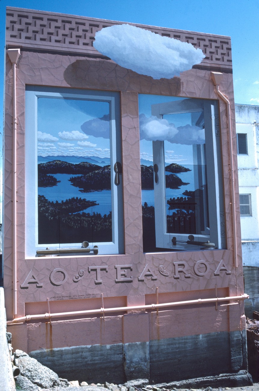
Considering we live in Aotearoa—”land of the long white cloud”—it is appropriate that we should give our attention to the sky pageant that never stops. And we are clearly not alone in this activity. In literature and the arts, in religion too, clouds loom large either as symbols or for what they are: one of nature’s most lavish gifts.
In both Judaism and Christianity clouds are tangible expressions of spiritual realities. Moses receives the Ten Commandments while shrouded in cloud atop Mt Sinai, and a pillar of cloud leads the Israelites through the wilderness in Exodus. The resurrected Christ ascends into cloud, and is promised to return with a cloudy entourage. Fourteenth century mystics urged their followers to discover God in the “cloud of unknowing.”
In the Iliad, Zeus is the cloud-gatherer, chasing the Greeks from the battlefield with his lightning, while in Norse mythology meteorites are pieces of Thor’s hammer falling from the skies as he rumbles across the clouds in his chariot.
On a more down-to-earth level, the practice of watching clouds to get clues about the weather is one of humankind’s oldest activities. A version of “Red sky in the morning, shepherd’s [or sailor’s] warning; red sky at night, shepherd’s delight” is recorded in Greek literature in the 4th century AD.
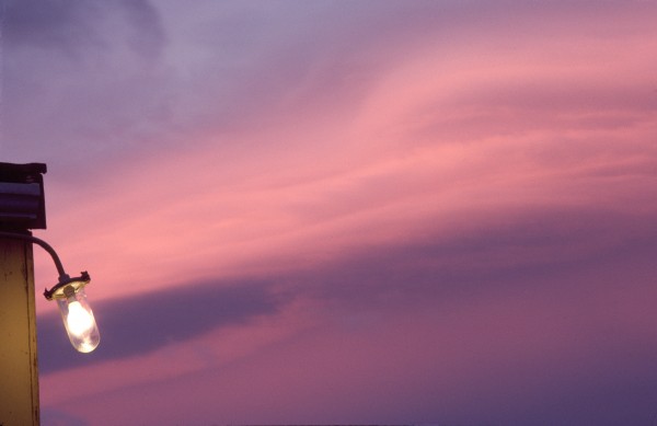
Like all proverbs—but especially those relating to weather—the red sky nile is only an approximation. It works best in latitudes where westerly winds prevail—including New Zealand. The explanation is that for the dawn sky to be red overhead, there must be no cloud to the east, but high cloud above, waiting to be illuminated by the sunrise. This will often happen when a rain bank is approaching from the west, preceded by high cloud.
Most weather lore does little more than forecast what will happen a couple of hours ahead, based on the principle that what you see is what you are about to get. “Raining at seven, fine by eleven,” is a prediction that seems to work a good percentage of the time. A variation runs along the lines that when you see a piece of blue sky big enough to make a sailor a pair of breeches, clear skies are on the way.
What such lore may lack in precision, it more than makes up for in poetry. The rhyme “Mackerel skies and mares’ tails make tall ships carry low sails,” was a pithy reminder to seafarers that the clouds creating these effects are associated with breezy weather.
Although such rules have limited application, there is no question that a keen observer can become adept at predicting the weather in a particular place from long experience of looking at the clouds there. These days, of course, most of us want to know not just what the weather will be doing today, but what will happen tomorrow and next week. And for that we need satellites, radar and the whole arsenal of modern meteorological techniques.

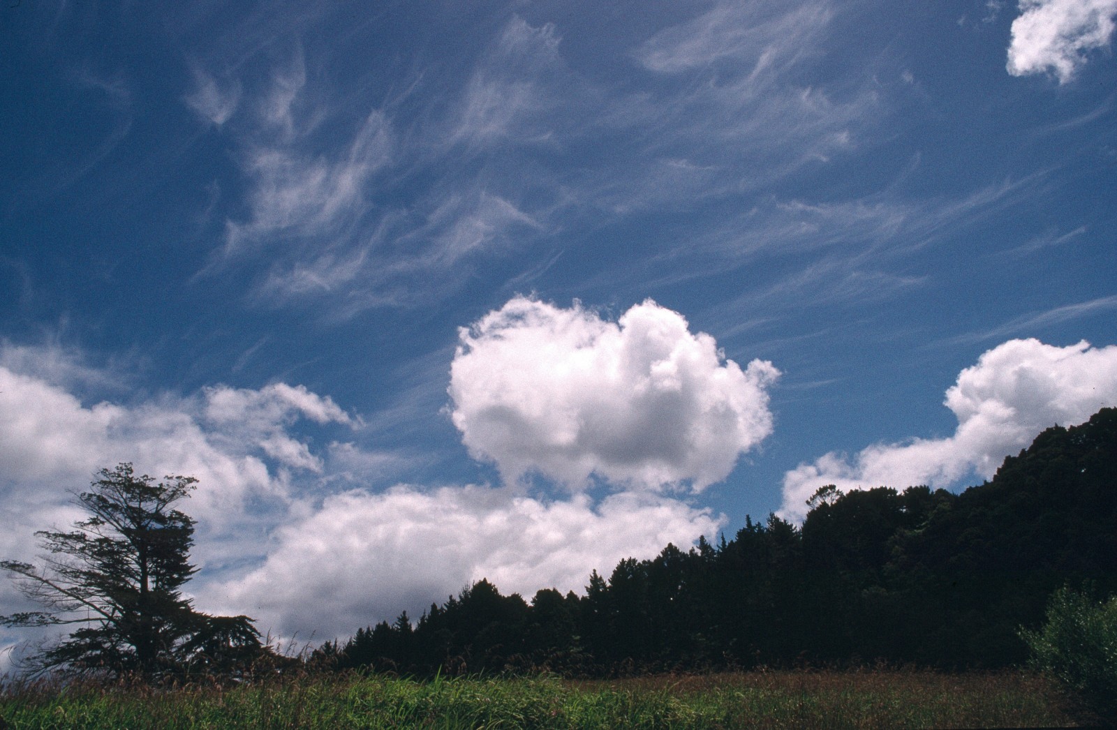
Oddly enough, no real attempt was made to name clouds until the English apothecary Luke Howard put forward a simple classification in 1803. His nomenclature was based on four Latin words, and is still in use today. Cirrus, meaning a lock of hair, is for wispy or strand-like cloud. Cumulus, a heap, is for puffy clumps of cloud extending upwards from a horizontal base. Stratus, widespread or layered, is used for extensive sheets of horizontal cloud and for fog. Nimbus, meaning a shower, is used for cloud from which rain, hail or snow—any form of precipitation—is falling.
Howard’s classification was greeted with international acclaim. Goethe, a fervent admirer of the system, composed a poem in his honour expressing the view “that the Englishman had performed a sort of miracle in bringing the semblance of order out of the ever-changing chaos of the skies.”
In the 1880s and 1890s, attempts were made to determine cloud heights. Following a “telephonic conversation” between two or more observing parties situated a few kilometres apart, angles to the agreed spot on a particular cloud would be measured and trigonometry used to work out the cloud’s altitude. In 1896—dubbed International Cloud Year—daily measurements of the height and movement of clouds were taken all around the globe.
With knowledge came more complex names. Howard’s four types had the beauty that they could be readily combined. So names like cumulonimbus (puffy and precipitating) and cirrostratus (a broad wispy veil) quickly gained currency. Today there are subdivisions as well as conjunctions, hence cumulus humilis for cumulus clouds of only slight vertical extent; cumulus mediocris for cumulus clouds of moderate vertical extent; cumulus congestus for cumulus clouds which show marked vertical development with a bulging cauliflower-like superstructure.
The World Meteorological Organisation now recognises 10 genera, 26 species and 30-odd varieties of clouds.
Regardless of their names, all clouds are formed from the same starting material: water vapour. And although we cannot see it, water vapour is always present in the air. Depending on temperature and humidity, the atmosphere contains from one to forty grams of water per cubic metre. It doesn’t sound all that much, but over the entire planet it amounts to several thousand billion tonnes. If it all fell as rain at the same time, it would form a layer an inch deep over the Earth’s surface.
Normally this moisture exists as individual water molecules bouncing around in the jostling molecular soup that makes up the atmosphere. But cool the air a little and the molecular dodgems slow down. There is no longer sufficient energy to keep the water molecules apart, and they start to condense as minute droplets that become visible to us as clouds or fog.

In the atmosphere, cooling happens automatically as air masses rise. Consider a typical summer’s morning at the beach. The sun beats down on sand and sea, but the sand heats up quickly while the sea hardly changes in temperature. The sand, in turn, heats the air directly above it, and this warmed pocket of air will rise like a bubble, in the way that warm smoke from a fire rises. Cooler air will be sucked in from over the sea to replace the warm bubble, but soon it will be warmed too, and the cycle will continue.
The net effect of these and myriad other warm bubbles exhaled by Earth is a shimmering airscape of rising thermals—invisible to us but easily felt by anyone who has travelled in a glider or hot-air balloon. As the air continues to rise, it expands (because the air pressure drops the higher you go), and as it expands it cools—at a rate of one degree per hundred metres of altitude.
Eventually the rising warm air will cool to below its dewpoint—the temperature at which its water vapour starts to condense—and at that point clouds will form. The dewpoint can be reached anywhere between ground level (in which case you have fog) and about 16 kilometres altitude, and the actual temperature varies according to how much moisture is in the air.
The less water vapour an air mass carries, the higher and cooler it will get before it condenses. Cirrus clouds, for example, form so high up in the sky that the air temperature is typically 30 degrees or more below freezing, and so they contain very little water. That water is also in the form of ice crystals, which is why cirrus often appear streaky and fibrous. Plump, low-altitude cumulus clouds contain much more water, and are more likely to result in rain.
But as every drought-stricken farmer knows, dark clouds do not always deliver their promised downpour. This is because the water droplets that make up your average cloud are simply too small to reach the Earth. Most of them are less than a hundredth of a millimetre in diameter, and so light that they are held aloft by the movement of air inside the cloud. A few may well begin to fall, but as soon as they leave the cloud they enter air which is warmer than the dewpoint, and evaporate almost instantly.
For a drop to have any chance of reaching the ground, it has to join forces with myriad other small droplets. The taller the cloud—a 10,000 metre high cumulonimbus is ideal—the more opportunities exist for falling droplets to collide and fuse, so building up the necessary bulk to survive that plunge to the ground.
[Chapter-break]
In New Zealand (and other mid-latitude regions) much of the rain that falls starts off not as liquid water but as ice. When the temperature inside a cloud drops well below zero degrees, water vapour will condense directly into ice, rather than forming liquid water first.
Ice crystals tend to grow more quickly than water droplets do, and clouds where this process is occurring often yield the heaviest deluges. Unless the surface air temperature is below about 5°C, the precipitation from these clouds is not in the form of sleet or snow, because as the ice crystals fall they usually melt in the warm air of the lower atmosphere and turn into rain.
Hail results when growing ice particles have undergone repeated cycles of partial melting followed by freezing, through being lifted and dropped repeatedly by strong vertical air movement inside thunderstorm clouds. Eventually the hailstones grow too heavy to be lifted any more, and fall to the ground. Frequently they have a structure of concentric layers that records the cycles of freeze and thaw that have formed them.

The process of vapour condensation to both water and ice happens much more readily if there is a minute speck of matter hovering nearby that the droplet can form on. Bacteria and fine clay particles make good nuclei for ice formation, but according to a recent finding the best seeding material for liquid cloud drops is a chemical found inside phytoplankton—one-celled plants that live in the upper layers of the ocean.
Dimethylsulphoniopropionate (DMSP) prevents salt water invading and killing the plankton cell. But when phytoplankton are grazed by zooplankton—equally tiny marine animals—DMSP is released into the water. After undergoing one or two chemical conversions it finds its way into the atmosphere through evaporation, and is ready to be used in the next crop of sky pearls.
This piece of cloud physics (the same principle is involved in the artificial seeding of clouds to produce snow)has come under the spotlight with current concern over climate change. According to some scientists, if it were possible to increase the amount of cloud, then global warming could be reduced, because more sunlight would be reflected off the cloud tops back to space.
How do you produce more cloud? The answer, as suggested by one group of researchers, is to increase the amount of phytoplankton, and hence the amount of DMSP in the atmosphere. As it happens, there is far less phytoplankton in the great southern oceans than there could be, owing to a shortage of the trace element iron. Incredible as it may sound, the suggestion is that phytoplankton numbers could be boosted by grinding old railway lines to powder and then scattering them over the ocean. Although clearly impractical on a large scale, tests have been conducted over small areas of ocean, and a significant increase in the amount of phytoplankton has indeed been achieved.

With or without phytoplankton, it may be that global warming will partially regulate itself. If the Earth heats up, more water vapour will enter the atmosphere, which should increase cloud cover, cooling the planet down again. While this idea is unproven, evidence suggests that the Earth’s temperature over billions of years has fluctuated much less than the heat output of the Sun, because of one self-regulating mechanism or another.
However, the role of water vapour in the atmosphere is more complex than simply one of creating sky reflectors.
As well as regulating the amount of solar radiation that reaches the Earth’s surface, water vapour stops some of it making the return trip into space. Incoming sunlight penetrates the atmosphere easily, but once this energy has warmed the Earth and seeks to escape as longer wavelength heat, it is trapped by the so-called “greenhouse gases”—of which water vapour is one of the most important. Without water vapour in the atmosphere, the Earth’s surface would average -15°C rather than 15°C.
The insulating properties of water vapour are clearly felt at night. On cloudless nights the air temperature plummets; clouds act as insulators—sky blankets, if you will—to prevent heat loss from the earth and keep Jack Frost at bay. Perhaps clouds are indeed the Earth’s thermostat.
[Chapter-break]
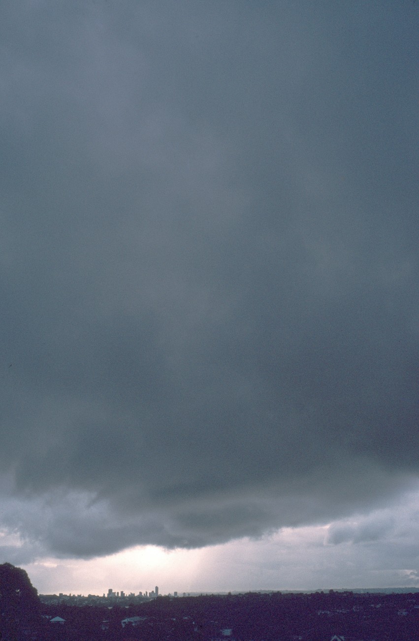
Most dramatic of all the clouds are cumulonimbus: the riders of the storm. These are the ones which reflect so well the brooding depths of the human experience: war, madness, disaster. Also the heights: the omnipotence of godhead as captured in the hymnwriter’s words:
“His chariots of wrath the deep thunder clouds form, And dark is his path on the wings of the storm.”
As impressive as the torrential rain, lightning and thunder associated with these clouds are the strong winds they produce. And it is the very rain-making process which creates the wind.
When water vapour condenses to liquid or ice, heat is released. This heat warms the air inside the cloud, creating updrafts which can move at speeds in excess of 150 kilometres per hour.
Sometimes the rising currents of air in a large cumulonimbus are powerful enough to pick up objects from the ground. Through its nozzle—a tornado—a cumulonimbus is capable of vacuuming up fish, frogs even hens. Inside the cloud these objects are sorted according to size (the lighter they are, the higher they travel) before being thrown out to fall back to Earth. There are well documented cases of fish being spat out by the tonne from stormclouds, and it is possible that the quail which fed the Israelites in the wilderness were delivered by this method.
The tornado delivery service can be very important for the dispersal of species across wide areas of the Earth, and is certainly one of the reasons why virgin land such as freshly erupted volcanic islands is colonised so quickly.
The power of clouds is not to be underestimated. They may be lifegivers by virtue of the fact that they bring rain, but they can also be killers. There are records of aircraft flying into cumulonimbus and never coming out the other side. Even as I write this, news has just come through of 16 deaths in Texas, where cumulonimbus clouds unleashed flash floods, lightning, and fist-sized hail. In April, similar stormclouds dropped hail stones that were almost basketball size in China.
The biggest clouds are virtually self-perpetuating systems. Warmed by the internal heat of large scale condensation, they are able to suck up reservoirs of water vapour from surrounding air banks to keep on growing. Upwelling air in the interiors of these large cloud masses is balanced by downdrafts around the edges, and this regulates the spacing between one aerial island and the next.
[Chapter-break]
For those of us who spend most of our lives inside buildings, clouds may have become something in the nature of lost treasures. But when we do find the time to watch clouds, part of the enjoyment is seeing them change. And change is what they do most of the time, for clouds are not so much objects as events; they are the footprints of the winds, making visible to us the interplay of water and air.
The sheer variety of skyscapes has long prompted people to see faces, animals, even entire continents being painted in the clouds. Hamlet asked, “Do you see yonder cloud that’s almost in shape of a camel?” then changed his mind, “Methinks it is like a weasel” then changed it again, “Or like a whale?”
Janet Frame offered a more domestic interpretation in her novel The Carpathians: “The clear new sky arched so close as if the town had its personal sky, the occasional clouds drifting like various shapes of washing set free by the wind.”
In 312 AD, Constantine thought he saw chi-rho—the first two letters of Christ’s name in the Greek alphabet—in the cirrus. At the time, he was invading Italy in an attempt to become ruler of the western half of the Roman Empire. He ordered the letters to be painted on the shields of his soldiers before battle, and, although outnumbered, he achieved a crushing victory at the battle of Milvian Bridge outside Rome.
Nowadays we may not have the inclination to look for messages in the clouds, nor even the time to notice the sky’s ever-changing vistas, but, chances are, we will use clouds from time to time as metaphors in our speech. When things are going really well we may say there’s not a cloud on the horizon, and even when difficulties present themselves we may stoutly aver that every cloud has a silver lining.
It is arguably better to have your head in the clouds than to be under a cloud, but who could dispute that, best of all, is to be on cloud nine.


