Mt Hobson/Hirakimata
Great Barrier Island, 1–2 days

Great Barrier, the largest island in the Hauraki Gulf and off the North Island’s coast, is a bush-clad paradise for holidaymakers, surfers and trampers. Getting there presents a bit of a logistical exercise, but the island offers a bit of everything: a snatch of coastline, an impressive historic kauri dam, excellent birdlife, distinctive volcanic topography and some fine regenerating kauri forest. The tramp also includes the island’s only hut and crosses its highest point, Mt Hobson/Hirakimata, with unsurpassed views over the Hauraki Gulf.
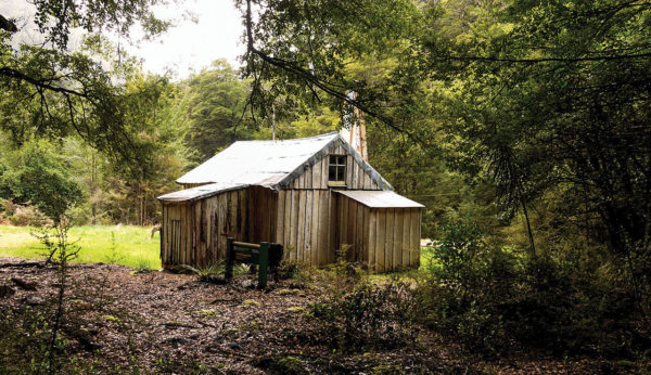
There’s a locked gate part of the way down Kaiarara Bay Road, restricting access beyond to those on foot or mountain bike. From here, follow the Forest Road to the Kaiarara Stream. The track is now of 4WD width (it’s an old New Zealand Forest Service logging road) and crosses Kaiarara Stream three times before reaching Kaiarara Hut. The hut is among tall stands of manuka and offers bunk space for 28; there are also plenty of camping spots nearby.
Just up-valley from the hut, the track forks at a signpost at the Kaiarara Track junction. Take the left branch which crosses through lush forest. Head straight on at the next track junction crossing the north fork stream a number of times, up to a signposted junction where the Coopers Castle route branches off. Take the right fork. Further along, you reach a signposted side trip to the Kaiarara kauri dam, one of the tramp’s highlights.
Back on the main track, you sidle up-valley, crossing numerous footbridges over small watercourses. Beyond, clear views open up through the forest of the stark volcanic cliffs on the far side of the valley, an indication that the topography is becoming increasingly rugged. Wooden stairs mark the start of some serious climbing, and these lead right to the summit of Mt Hobson.
From the trig station on top of Mt Hobson (627 m) there are superlative views over Port Fitzroy, Kaiarara Bay, Whangapoua Beach and Kaitoke, as well as further afield to Cuvier Island, the tip of the Coromandel Peninsula, Little Barrier Island, the Hen and Chickens, Mokohinau and the Poor Knights Islands. This is undoubtedly one of the most extensive views of the Hauraki Gulf, and on a good day it’s certainly a place to linger long. From the summit, go back to the last track junction where the signpost indicates the way to the Kaiarara south fork. About 30 minutes from the summit you meet the Peach Tree Track junction—bear right here, following the sign back to Kaiarara Hut.