La Nina’s deluges
As expected, La Nina brought above-average temperatures to most of the country this summer. The exceptions were the east of the North Island and eastern Marlborough. In most years these areas get a boost to their temperatures from warm north-west foehn winds blowing down from the mountains, but these were less common than usual this summer because La Nina brings frequent north-east winds.
Rainfall was above average in a number of places in the east of the North Island from Hawkes Bay to Northland, but other areas in between received below-average rain. The South Island was much drier than average, as was the south-west of the North Island, because of the influence of the large anticyclone La Nina tends to park just east of the South Island during summer. Palmerston North, Timaru airport, Waimate and Lauder all recorded their lowest rainfalls since records began.
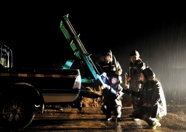
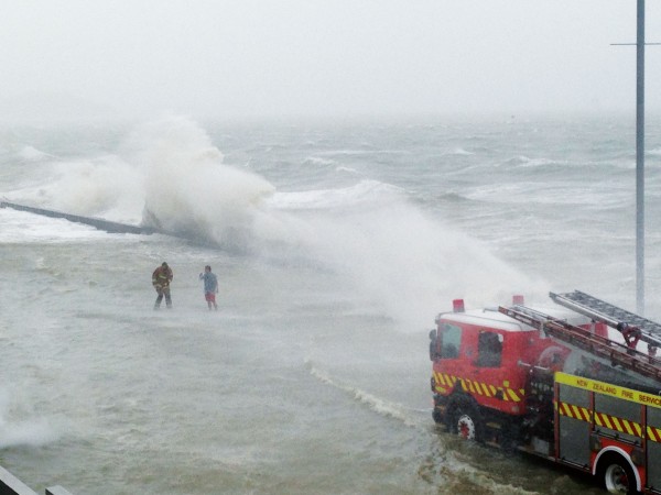
Where rainfall was up, most of it came in short, sharp downpours interspersed with long dry periods. One of the most severe deluges of the summer occurred over the Hokianga on January 21.
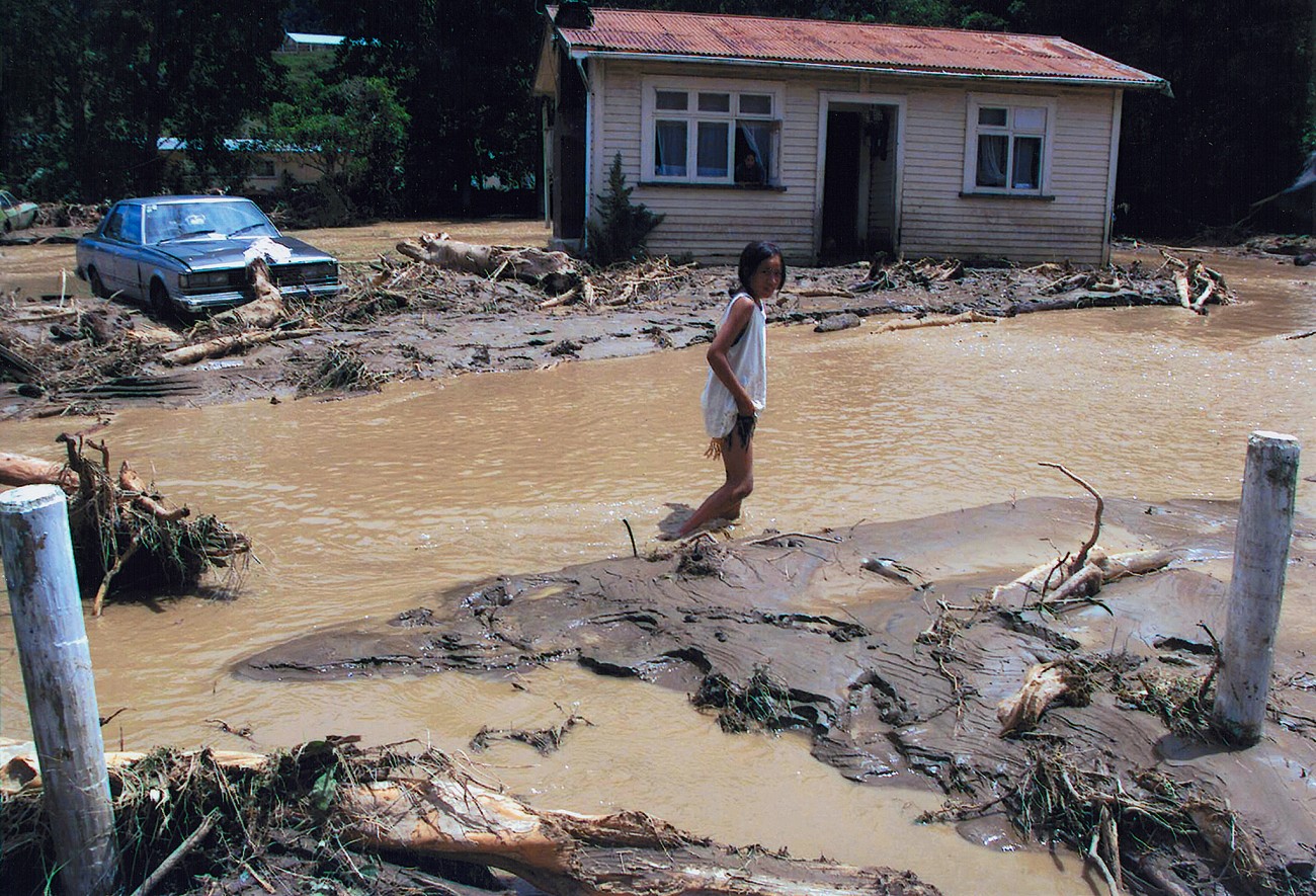
Thunderstorms forming over a low-level convergence line gave Opononi 211 mm of rain in less than five hours, and the nearby hills are estimated to have had over 300 mm. Flash floods swept out of these hills and poured across farmland, bouncing 1.5-metrediameter boulders around like tennis balls, according to one eyewitness. Large trees, stripped of their bark and branches, were carried for kilometres by the floods and turned into battering rams, tearing through fences, smashing cars and shunting houses off their foundations.
In Panguru, the river changed course and flowed through the school. People were rescued from rooftops, and 73-year-old Agnes Wake was up to her neck in floodwater in her lounge before she abandoned her house and swam for safety.
Thirty people sheltered upstairs in a two-storey house in Pawarenga as floodwaters swept through the ground floor. Bridges were washed out and many roads were cut by slips, meaning medical supplies and food had to be dropped in by helicopter.
Miraculously no one was killed in this area, but downpours along the same convergence line also caused flooding in Pukekohe, where one man was drowned, and at Kaiwaka, where a young girl was washed into a culvert and died several days later from the injuries she received.
Although the floods in Panguru were the worst in living memory, the danger was not entirely unforeseen. One of the damaged houses had belonged to Dame Whina Cooper and now belongs to her grandson. Before she died Dame Whina had warned of the risk of severe flooding, because the streambeds had been gradually rising as shingle was washed down from the hills during less severe rainstorms.
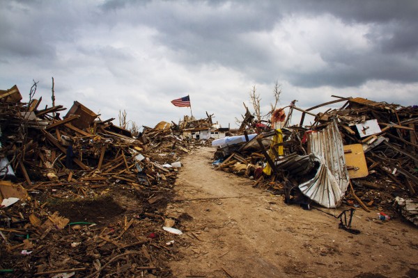
Dramatic though the devastation may appear in the days after an inundation like this, the scars on the landscape will gradually heal, and after several decades there may be little obvious sign of the event. However, where the rivers deposit silt, the story of the flood will remain for those able to interpret the layers of sediment.
Lakes make excellent sediment traps. In Hawkes Bay scientists have been studying cores from a number of lakebeds to establish a record of storms and erosion over a period of hundreds of years. Carbon dating of trees from beneath a swamp at the northern end of Lake Tutira, next to the Napier-Gisborne road, shows the lake formed about 6500 years ago when a massive landslide dammed a stream. A number of other lakes in Hawkes Bay were also formed by landslides at about this time, possibly all triggered by the same intense earthquake.
Landcare Research scientists Dennis Eden, Mike Page and Noel Trustrum have identified 365 sediment pulses during the last 22 50
years in a 6 m core from the lakebed. The core also shows an increase in the rate of sedimentation following the arrival of people in New Zealand. Pollen grains preserved in the core indicate a change in vegetation cover from forest to bracken and scrub 560 years ago, after fires thought to have been started by early Polynesian settlers. There is a modest increase in erosion and sedimentation rates after this time, but they jump by a factor of about 10 following European settlement in 1878, when the land was converted to pasture.
Rainfall near Lake Tutira has been recorded since 1895, and a comparison of individual storm-sediment layers and measured rainfall has established a relationship between the thickness of a layer and the amount of rainfall associated with it. Allowing for less sedimentation before humans arrived, this enables estimates to be made of the rainfall of individual storms during the 2250 years represented by the core.
Almost all floods in New Zealand are associated with weather patterns that bring warm air down over the country from the tropics or subtropics. In Hawkes Bay floods are extremely rare when the country is under the influence of El Nino and most common when warmer La Nina conditions hold sway. Thus the flood history revealed by the sediments in Lake Tutira gives an indication of the past sequence of El Nino and La Nina.
The wettest period started 2100 years ago and lasted 200 years, coinciding with a period of sustained warmer temperatures indicated by tree-ring records from both Tasmania and Chile. Another period of wetter, warmer weather shows up in the sediments around 1000 years ago, corresponding with the Medieval Warm Period identified in European climate records, suggesting this may have been a worldwide event.
The challenge now is to take a core from the lake sediments that extends all the way down to the ancient stream bed and so covers the whole 6500-year history of the lake.
Cores have been drilled in other parts of New Zealand that contain evidence of climate change over hundreds of thousands of years, although not at the resolution of individual storms. James Shulmeister of Victoria University and Jane Soons of Canterbury University, together with a number of colleagues, have studied a core drilled at the mouth of Gebbies Valley on the south-west flank of Banks Peninsula through 75 m of sediment laid down over the past 200,000 years. This covers the present interglacial—or period of relative warmth—plus the two before that, as well as the cold glacials in between.
During the coldest periods so much water was locked up in the ice sheets that the sea is estimated to have been more than 100 m below its present level.
These periods are indicated in the core by thin layers of fine wind-blown dust,
known as loess. This is mostly derived from Southern Alps greywacke and was blown in from river beds to the west. However, some of the loess on Banks Peninsula contains the spicules of sponges, indicating it spent time on the sea floor to the south of the peninsula before the sea retreated and left it for the wind to play with.
During the warmer periods the site was covered by water, and thick layers of sediment were laid down. Remains of tiny animals in the sediments, known as diatoms, indicate the water was sometimes salty and sometimes fresh. The change from salt- to freshwater sediments early in the current interglacial is explained by the formation of Lake Ellesmere—a shingle spit grew across the mouth of a bay until it reached Banks Peninsula, cutting the bay off from the sea.
The same lake-forming event seems also to have happened during the previous interglacial, 100,000 years ago, but not during the one before, suggesting Banks Peninsula remained an island then.
The layers of sediment also contain indications of what plants were growing at the time they were laid down, in the form of pollen grains and phytoliths. Phytoliths are microscopic silica particles, produced particularly in grasses, that serve to strengthen plants and deter grazing animals. They are sometimes known as plant opals, and are shaped according to the type of plant that produces them. Together the pollen and phytoliths show Banks Peninsula supported podocarp broadleaf forests during the warmer interglacials 180,000 and 100,000 years ago that were similar to the forests of pre-European times last century, and that climatic conditions were therefore also similar.
In the cooler periods grass and shrubs dominated, although trees were not completely absent. Levels of charcoal are also high in the cooler periods, as is the pollen of a type of plant known to be a pioneer species in disturbed sites. This indicates that fires were a regular threat, in turn suggesting that dry northwesterly winds were common.
You can find a lot of old weather in a hole in the ground!